SEVERE WEATHER · 26 OCT 2026
Miami Braces for a Soaking: Heavy Rain Peaks on Tuesday
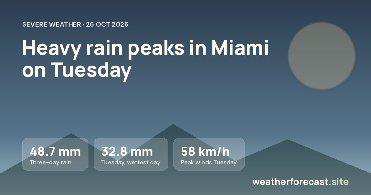
Heavy rain arrives in Miami on Monday and peaks on Tuesday 27 October, with about 48.7 mm over three days, before easing from Wednesday.
AT A GLANCE
- About 48.7 mm of rain in Miami over three days
- Worst day: Tuesday 27 October, 32.8 mm and winds up to 58 km/h
- Easing from Wednesday 28 October
- Western areas about 30 km away get far less rain
Miami is heading into a spell of heavy rain that begins on Monday 26 October, peaks on Tuesday 27 October and eases from Wednesday 28 October. Over the next three days the city is likely to collect about 48.7 mm of rain, with strong winds alongside it at the worst of the weather.
Monday 26 October: heavy rain begins
The wet weather starts on Monday with heavy rain and about 13.2 mm expected. Temperatures stay warm, with a high of 27°C (81°F) and a low of 24°C (75°F). Winds reach up to 54 km/h, so it will feel blustery as well as wet, especially in open areas and along the coast.
Tuesday 27 October: the worst day
Tuesday is the day to plan around. Heavy rain continues and the total climbs to about 32.8 mm, more than twice Monday’s amount. Winds peak at 58 km/h, the strongest of the period. The high is again 27°C (81°F), with a lower night temperature of 22°C (72°F). Because the rain falls on top of the wet ground left by Monday, this is when roads are most likely to be slow and water is most likely to collect in low spots.
Wednesday and Thursday: easing off
The change midweek is clear. On Wednesday 28 October the rain turns lighter, with only about 2.7 mm, and winds drop to 18 km/h. Thursday 29 October stays unsettled but much calmer, with about 2.0 mm and winds of 16 km/h. Highs of 28°C (82°F) on both days mean it stays warm and humid as the rain fades.
How much rain around Miami
The city itself sits at the wet end of the picture, with about 48.7 mm over three days. Areas about 30 km south are close behind with about 45.3 mm, while places about 30 km east see about 34.8 mm and about 30 km north about 30.3 mm. The drier side is to the west, where about 8.4 mm is expected about 30 km away. That means a short drive west could feel very different from the coast and the city.
What it means for you
- Driving: Allow extra time on Monday and especially Tuesday. Heavy rain and winds up to 58 km/h make visibility and handling worse, so slow down and avoid driving through standing water.
- Outdoor plans: Move events, sport and outdoor work away from Tuesday if you can. Wednesday and Thursday are far better choices.
- At home: Secure loose items on balconies and gardens before the winds build on Monday, and keep drains and gutters clear.
- Travel: If you are flying or travelling in or out of the area, check with your airline or transport provider on Monday and Tuesday for possible delays.
- Warmth: Temperatures stay mild, so there is no cold risk, but the humid air can make wet days feel sticky.
The bottom line
Expect a wet and windy start to the week in Miami, with Tuesday 27 October as the peak. From Wednesday 28 October the heavy rain gives way to much lighter showers and calmer winds, so the second half of the week should be far easier for getting around.
Day by day
| Day | High | Low | Rain | Wind | Sky |
|---|---|---|---|---|---|
| Monday 26 October | 27°C | 24°C | 13.2 mm | 54 km/h | heavy rain |
| Tuesday 27 October | 27°C | 22°C | 32.8 mm | 58 km/h | heavy rain |
| Wednesday 28 October | 28°C | 23°C | 2.7 mm | 18 km/h | rain |
| Thursday 29 October | 28°C | 24°C | 2.0 mm | 16 km/h | rain |
Forecast retrieved 26 October 2026, 14:59 UTC for Miami and four points about 30 km around it. Days are local time (America/New_York).